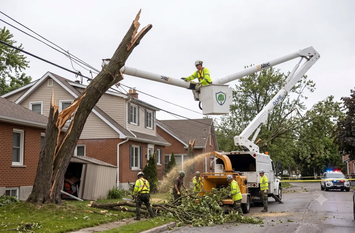
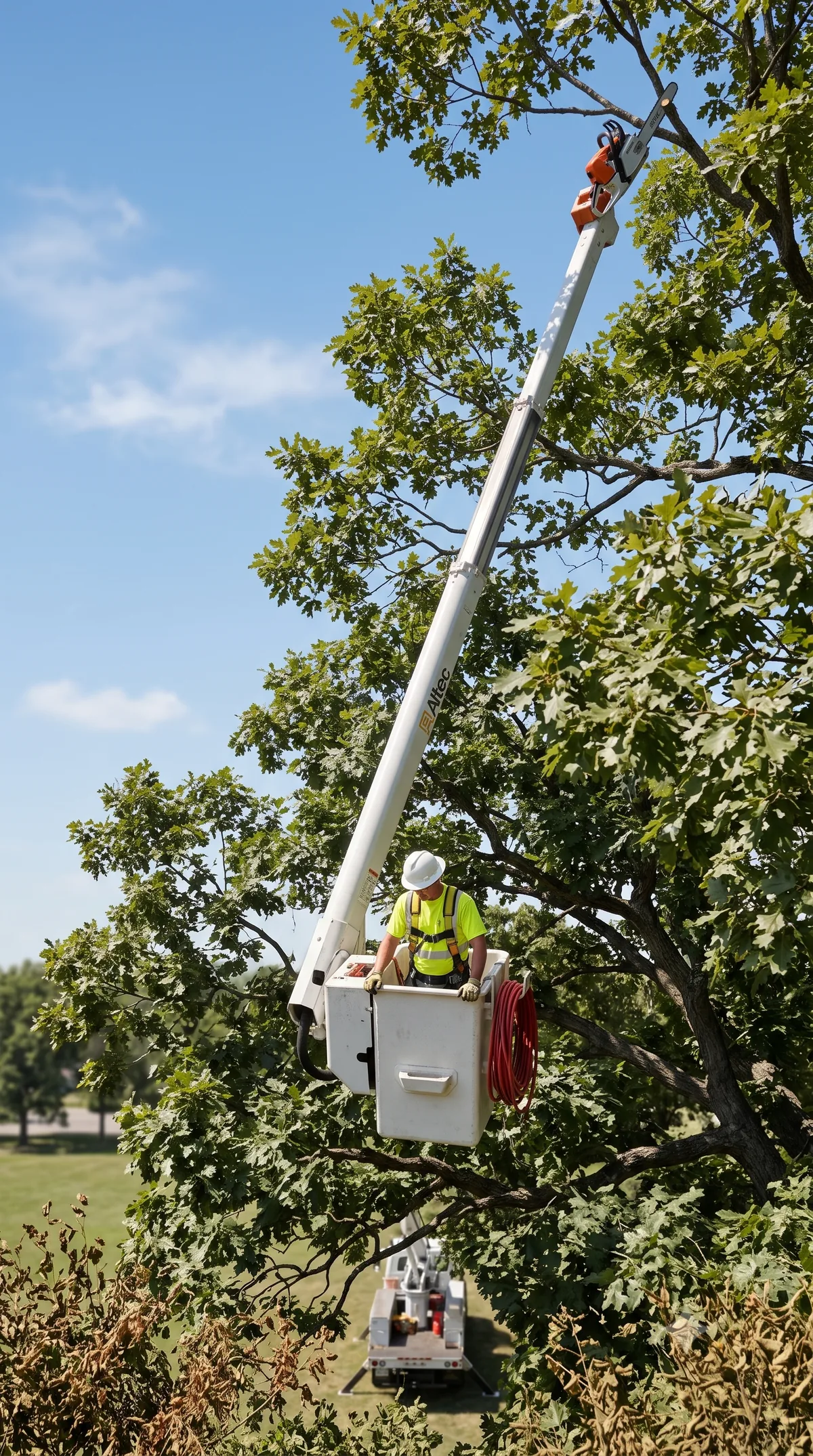
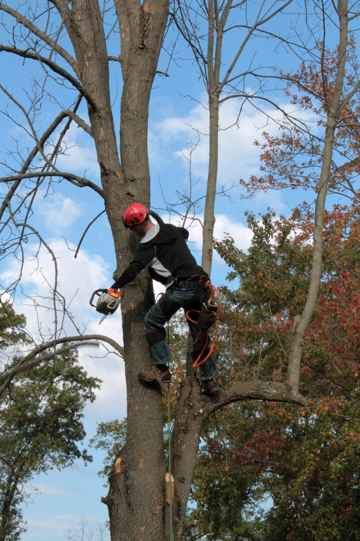
Emergency Tree Removal
Local tree crews in Brantford Southeast, Ontario (N3S) for fallen trees, leaning trunks, and storm-damaged limbs. Request a crew and they will contact you.
Our Service Group Partner maintains: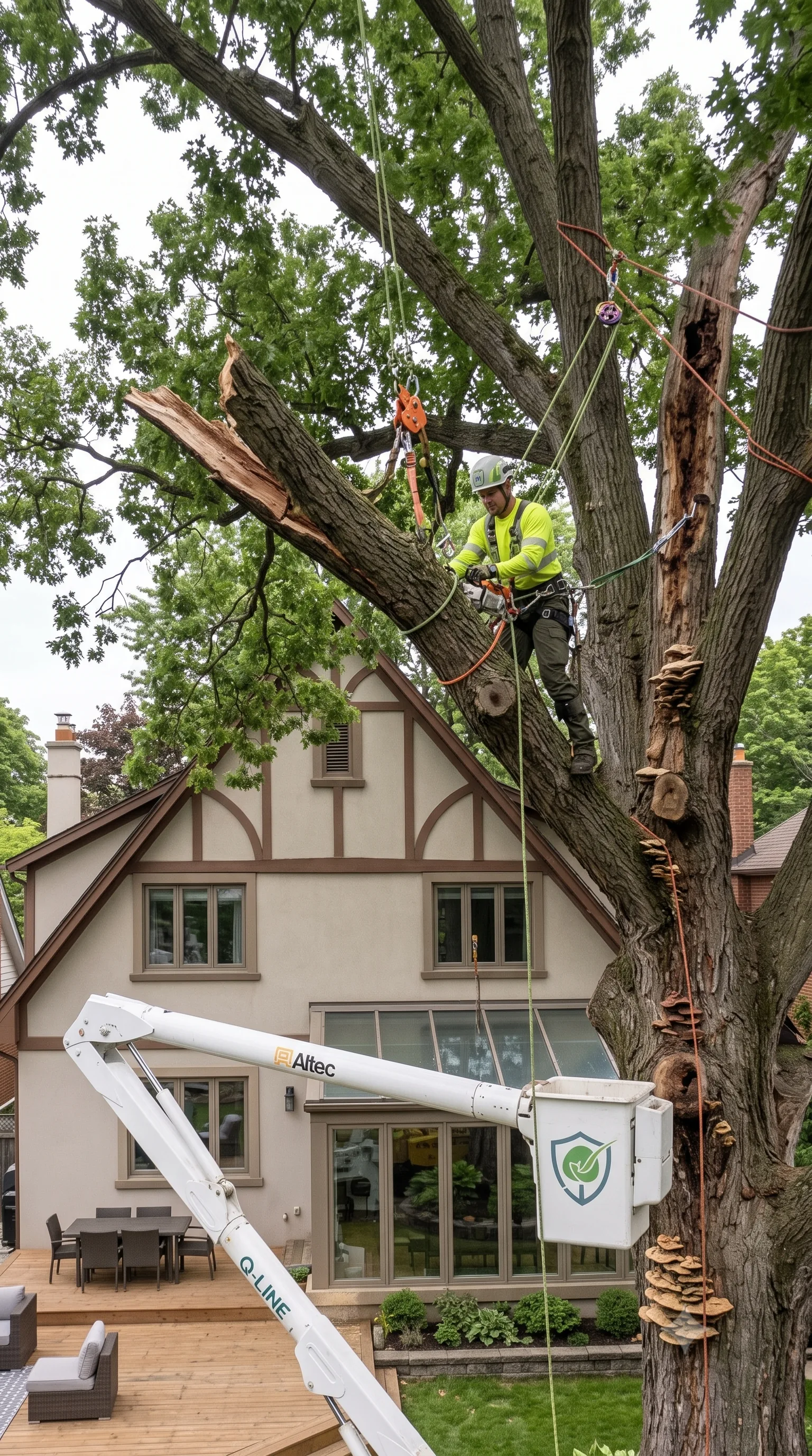
Before you do anything else
Storm-damaged trees carry immense weight and unpredictable tension. Please read these first:
- 01If any part of the tree is touching or near a power line, treat the line as live. Call your local emergency services or network operator immediately. Do not approach.
- 02Stay well clear of leaning trunks or lifted root plates. Saturated soil can shift without warning, causing the tree to swing or drop suddenly.
- 03Never attempt to cut a limb that is propped against something or under tension. The stored energy in a bent branch causes the most severe chainsaw injuries.
- 04If a tree has impacted a roof or wall, evacuate the rooms directly underneath and cord off the area so children or pets cannot enter.
- 05Clear your driveway and street access if safe to do so. Emergency crews require space for heavy machinery, chippers, and trucks.
- 06Confirm in writing what the quote includes. Ensure you know if the price covers just the "make-safe" cutting, or if it includes stump grinding and hauling away the debris.
Questions people ask about storm-damaged trees
What wind speed brings trees down?
There is no reliable number. Healthy, deep-rooted trees can survive massive gusts, while neighboring trees with root decay or structural defects can be flattened by much less. Saturated soil also lowers a tree's wind resistance significantly.
My neighbour's tree fell on my property. Who pays?
This varies by jurisdiction and your specific insurance policy. It often depends on whether the tree was visibly dead or hazardous beforehand, and if that hazard was documented. We only arrange the physical removal work; liability is a question for your insurer.
Is stump removal included in tree removal?
Usually not by default. Felling, stump grinding, and hauling debris are commonly priced as separate line items. Ask for each to be listed on your quote so you understand exactly what you are paying for.
Can a crew come out at night or on a weekend?
For genuine emergencies—such as a tree blocking primary access or resting on a house—crews will dispatch out of hours, usually at a premium rate. Because working in the dark is highly dangerous, they will typically just secure the hazard and return in daylight to finish the removal.
Sector Analysis: Grid N3S
Brantford Southeast • Ontario
Peak gust 31 km/h, rainfall 0.0 mm — below the loading threshold we flag for canopy failure.
Brantford Southeast and the surrounding N3S grid is suburban, at roughly 572 / sq km of housing on public census figures, with a typical build year of 1950.